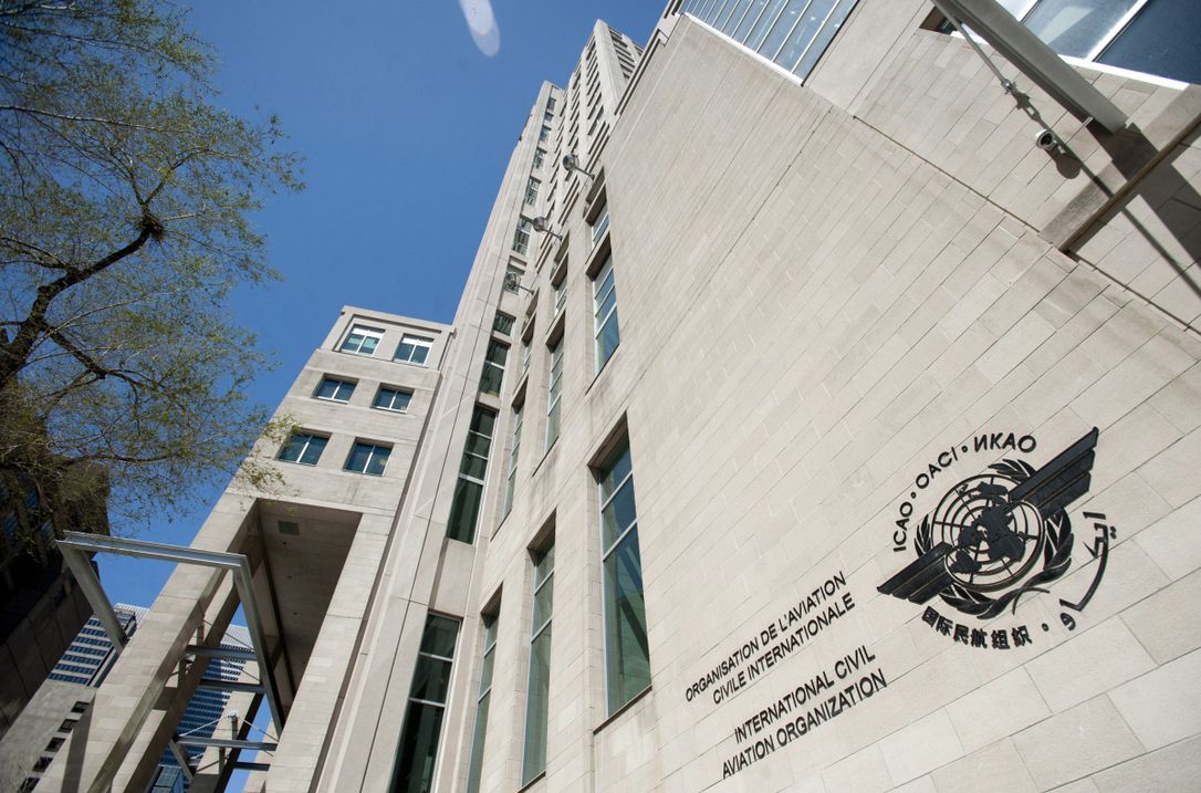
Source: ICAO
New aviation Standards and Recommended Practices (SARPs) adopted at the International Civil Aviation Organization (ICAO) will enhance safety and accelerate the transformation of the global air navigation system, including the integration of Remotely Piloted Aircraft Systems (RPAS).
“The sustainable development of aviation worldwide requires a performance-driven and service-oriented advanced global air navigation system. Today we have taken significant steps towards achieving this,” stated the President of the ICAO Council, Salvatore Sciacchitano.
The Council of ICAO approved amendments to 15 of the 19 Annexes to the Convention on International Civil Aviation, and approved a new “Procedure for Air Navigation Services (PANS) on Information Management” during its recently concluded 231st Session.
Integrating RPAS
With the Council’s adoption of the new Part IV International Operations — Remotely Piloted Aircraft Systems to Annex 6 – Operation of Aircraft, the basic building blocks for a regulatory framework to enable the international operation of RPAS are now in place.
RPAS operators will be required to hold a specific operator certificate (ROC), akin to the traditional air operator certificate (AOC). This is a considerable step towards integration of RPAS into the aviation system.
The Council previously agreed to the regulatory structure for the issuance of remote pilot licences, RPAS-specific airworthiness requirements, and provisions for C2 Links frequency bands, procedures and systems.
Together, these provisions satisfy three key requirements for international air navigation: a remote pilot licence, a certificate of airworthiness, and an RPAS operator certificate.
Transforming air navigation
The new Standards decrease the risk of the provision of inaccurate or incomplete information to Air Traffic Management (ATM) service providers and operators. The enhanced information sharing enabled by these Standards will also facilitate the optimization of air routes and networks, contributing to a reduction in aviation CO2 emissions.
One of the key advancements is towards the implementation of the “Flight and Flow — Information for a Collaborative Environment” (FF-ICE) concept. The goal is to establish a fully collaborative environment that enables the sharing and optimization of flight trajectories at every stage of flight. Designed for flexibility, the FF-ICE concept allows for phased and incremental implementation, covering a range of operational needs and timelines across different nations and regions.
ICAO also tackled the safety issue created by multiple aircraft being assigned identical 24-bit aircraft addresses, which has led in the past to inaccurate aircraft information in air-ground and air-air surveillance systems.
Moreover, the Council has updated Standards for helicopter chart development for performance-based navigation, enhancing the safety of helicopter operations.
Aviation accident and incident data
Enhancing data gathering and sharing is crucial for the aviation community, not only to prevent accidents and incidents, but also to respond effectively when such events occur.
Key among the new Standards adopted by the Council are those that complete the Global Aeronautical Distress and Safety System (GADSS).
Developed as part of the response to the loss of flights AF 447 in 2009 and MH 370 in 2014, GADSS requires enhancements to aircraft tracking and distress systems.
Expansion of the Flight Data Analysis Programme (FDAP) now ensures that most large commercial air transport aeroplanes are included. The broader scope of safety data collection aims to identify precursor events and facilitate proactive safety management.
New investigation Standards will require accident investigation authorities to inform the public about progress earlier and more frequently, ultimately providing the final report in an electronic format to ICAO for improved access and data analysis.
Crucially, the Council also decided to enhance current search and rescue (SAR) SARPs to expedite response times, facilitate assistance from other States during operations, reduce risks to personnel at accident sites, and provide better information to rescue coordination centres.

